Local wildlife expert and photographer Andy Purcell has recently been flying his drone over the Rowley Hills and has taken some amazing aerial photographs of the area. Over the next few months, we’ll be adding these to a new gallery on this page.
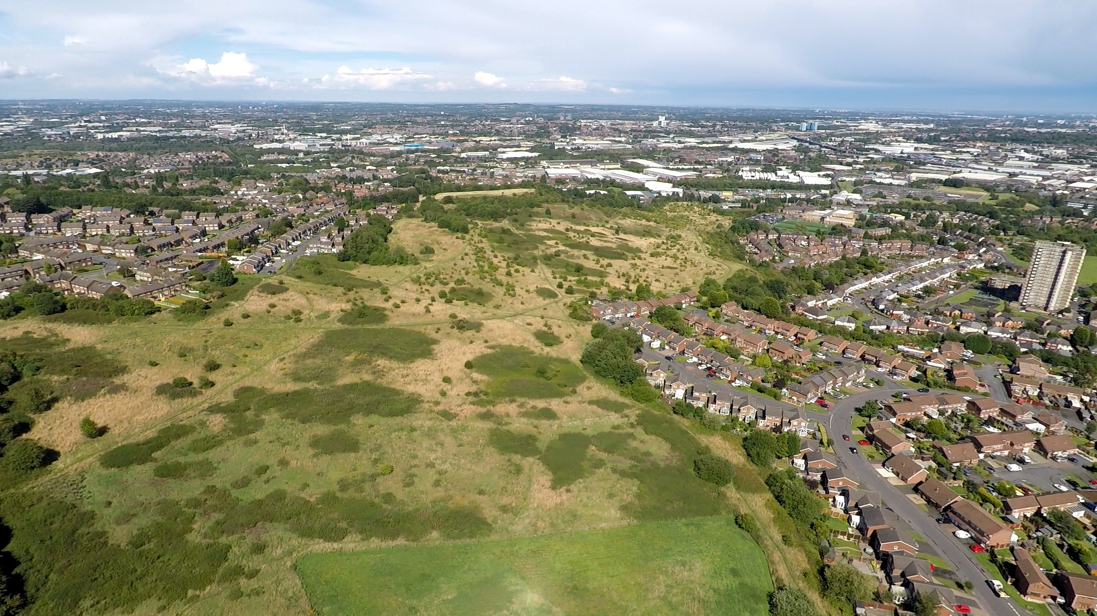
Portway Hill looking east (image © Andy Purcell)
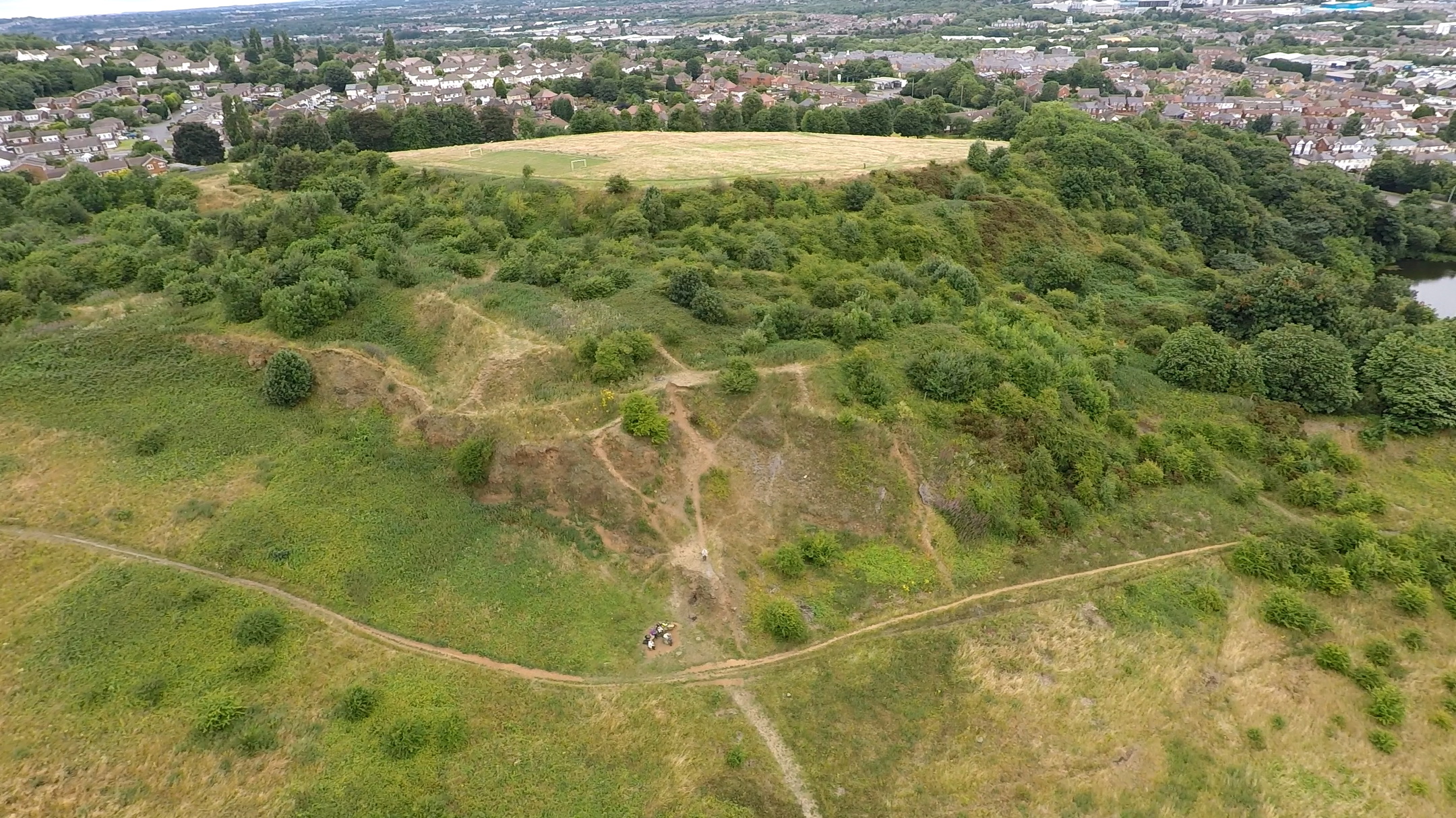
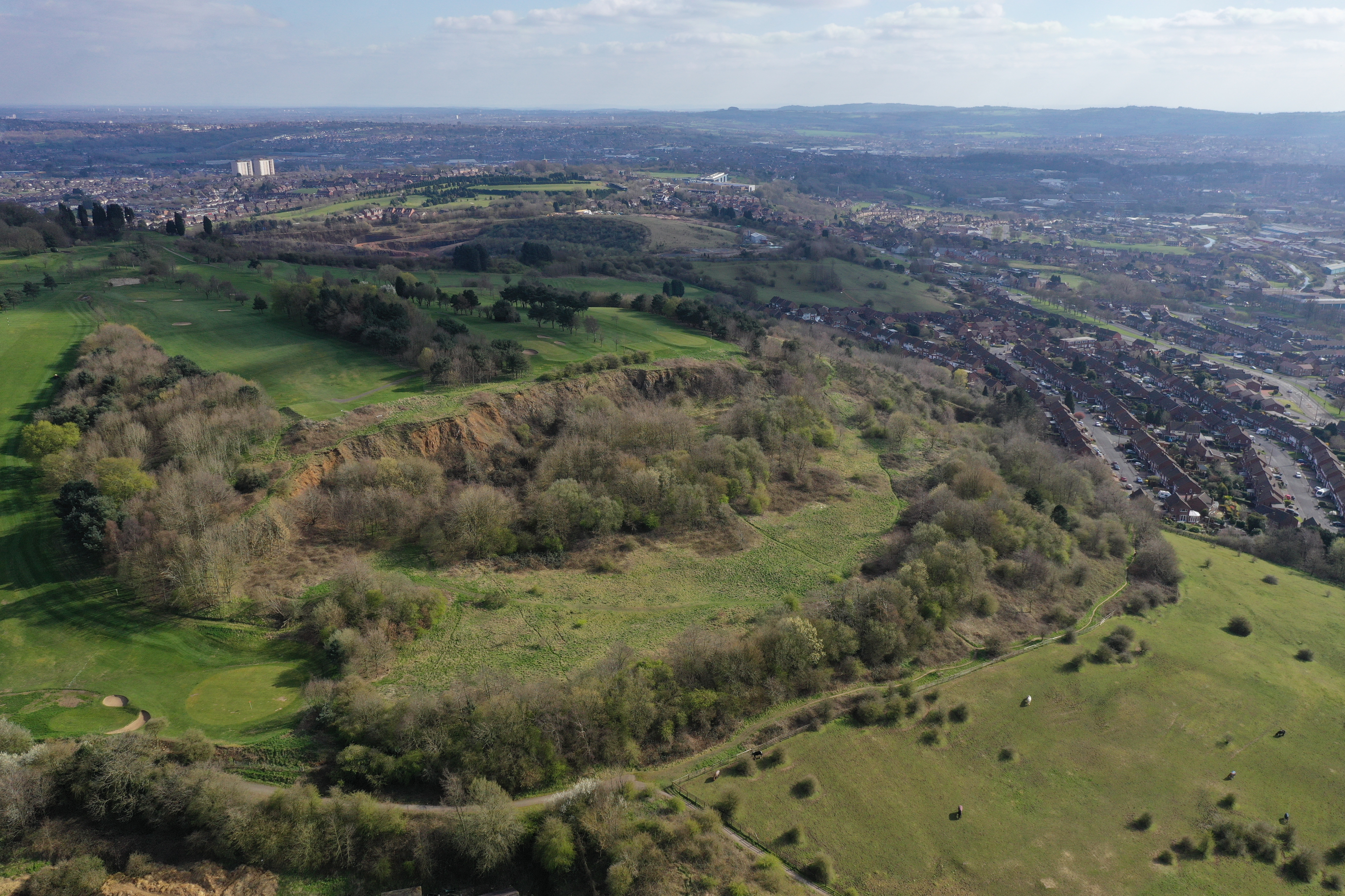
Geological exposure and old quarry (image © Andy Purcell)
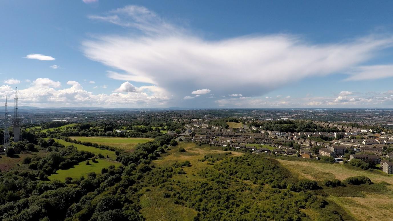
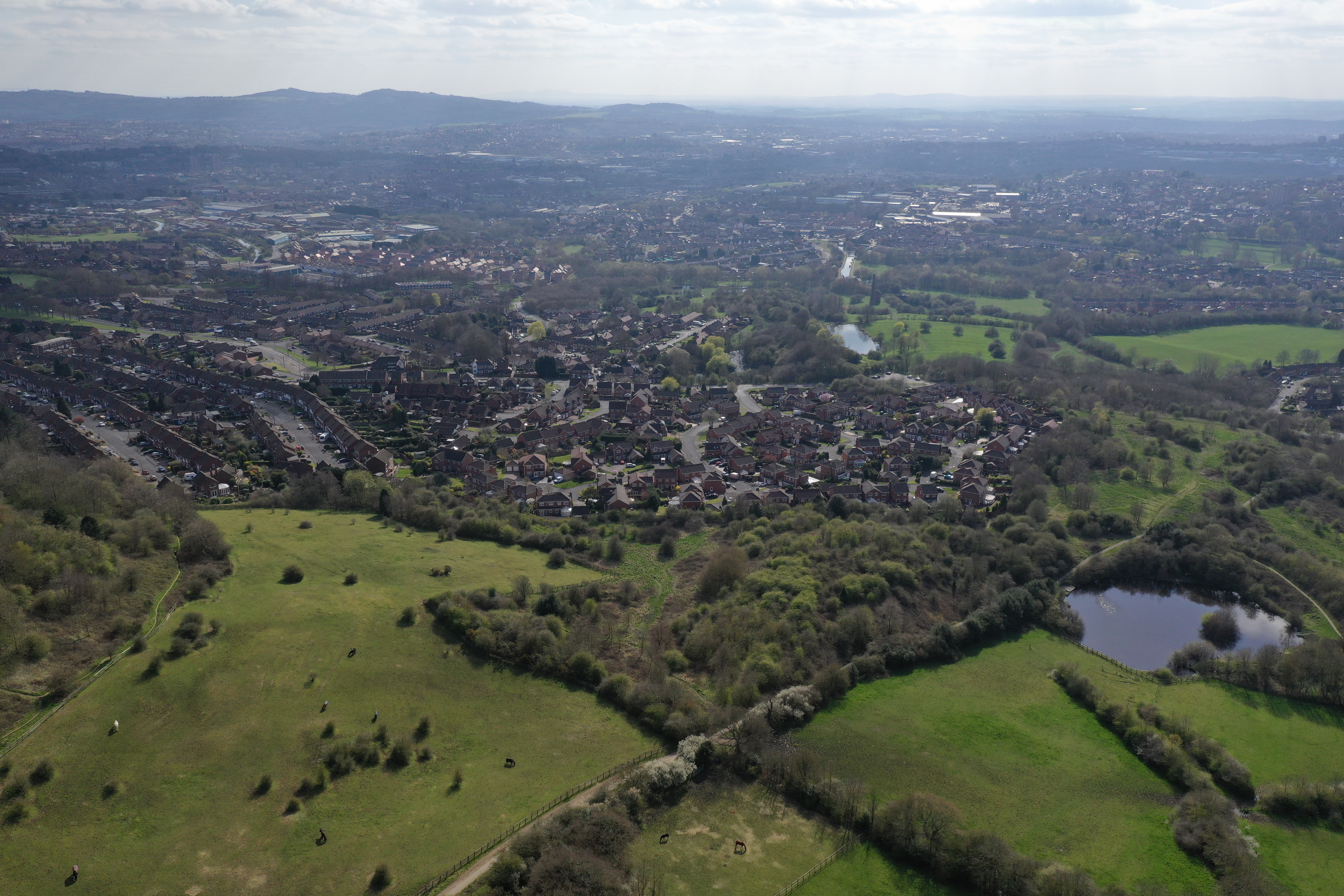
View northwest (image © Andy Purcell)
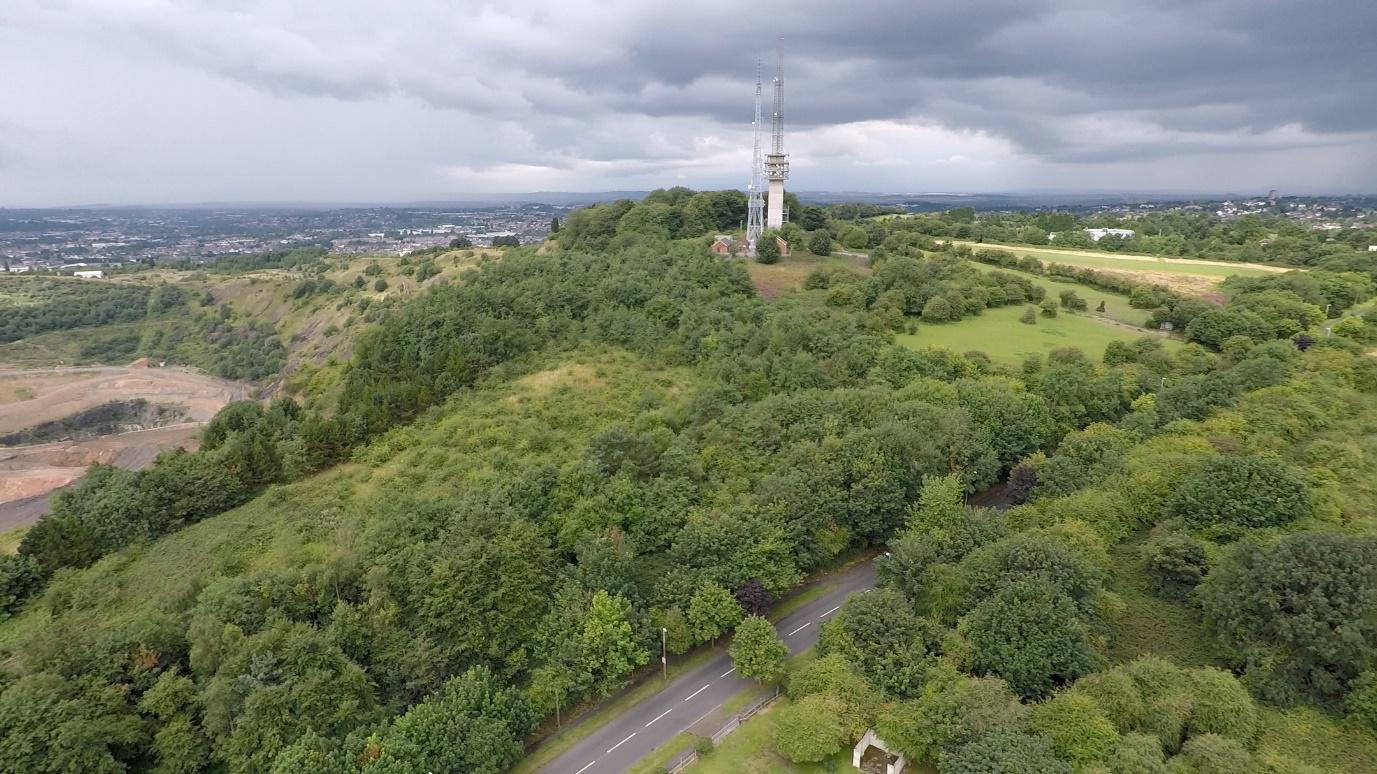
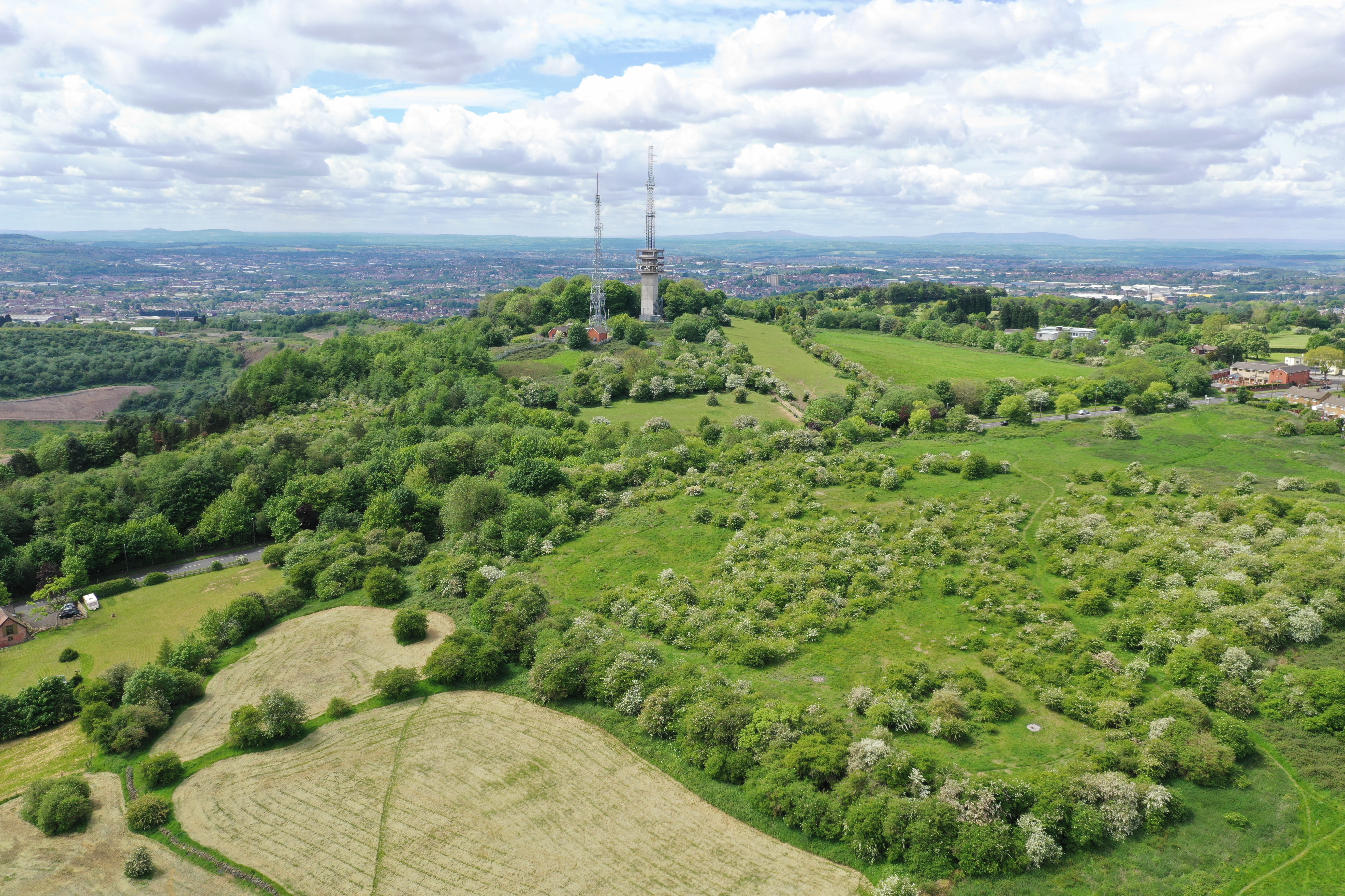
Turners Hill masts (image © Andy Purcell)

View west-northwest from Turners Hill (image © Andy Purcell)

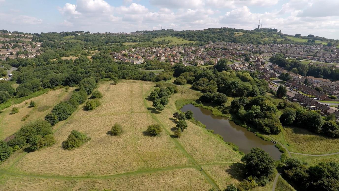
Above the site of the former Darby’s Hill Quarry (image © Andy Purcell)
Above the site of the former Darby’s Hill Quarry (image © Andy Purcell)

Above the site of the former Darby’s Hill Quarry (image © Andy Purcell)
Looking out towards City Road with the Beacon and seating area in the foreground (image © Andy Purcell)

The entrance to Netherton Tunnel (image © Andy Purcell)

View towards Clent with the Grade II Listed, Cobb’s Engine House and chimney in foreground (image © Andy Purcell)
Looking towards the masts on Turner’s Hill (image © Andy Purcell)

View towards Windmill End Junction, where the Dudley No.2 canal and the Boshboil Arm meets the southern end of the Netherton Tunnel branch canal (image © Andy Purcell)
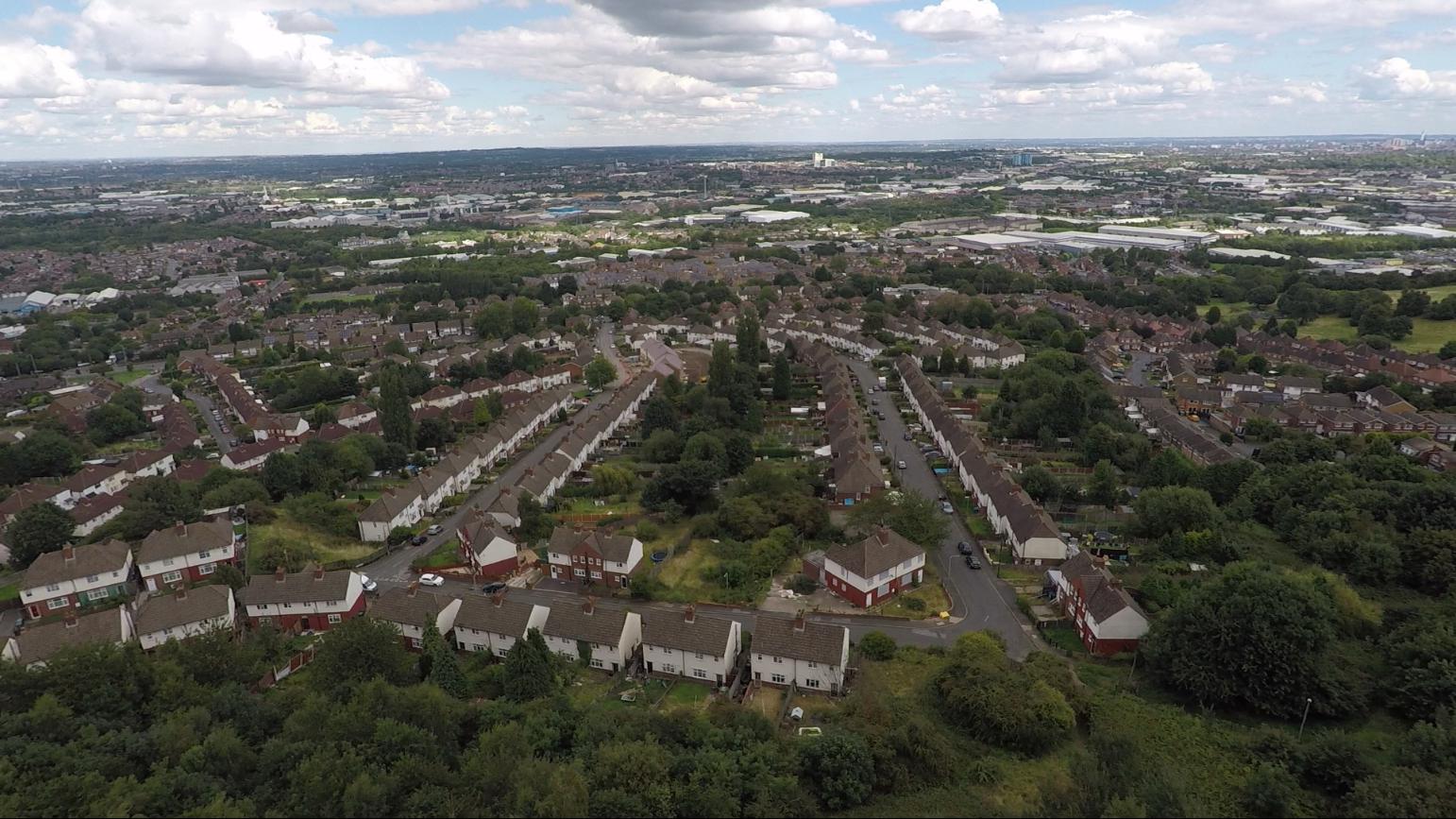
View over Grace Mary Estate (image © Andy Purcell)
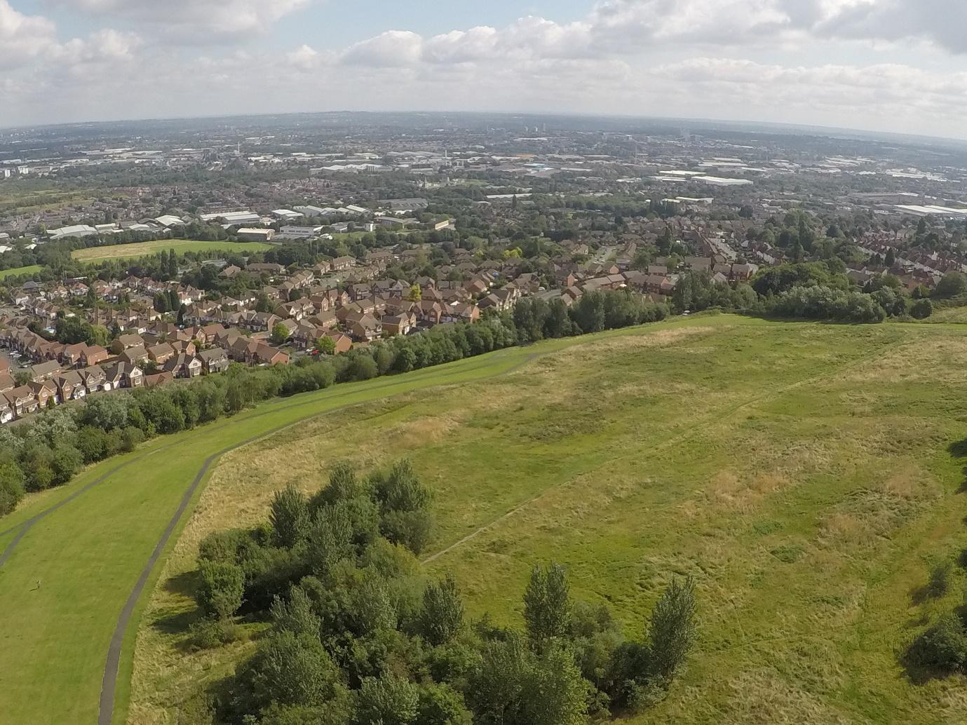
View towards Lion Farm Estate from Portway Hill (image © Andy Purcell)
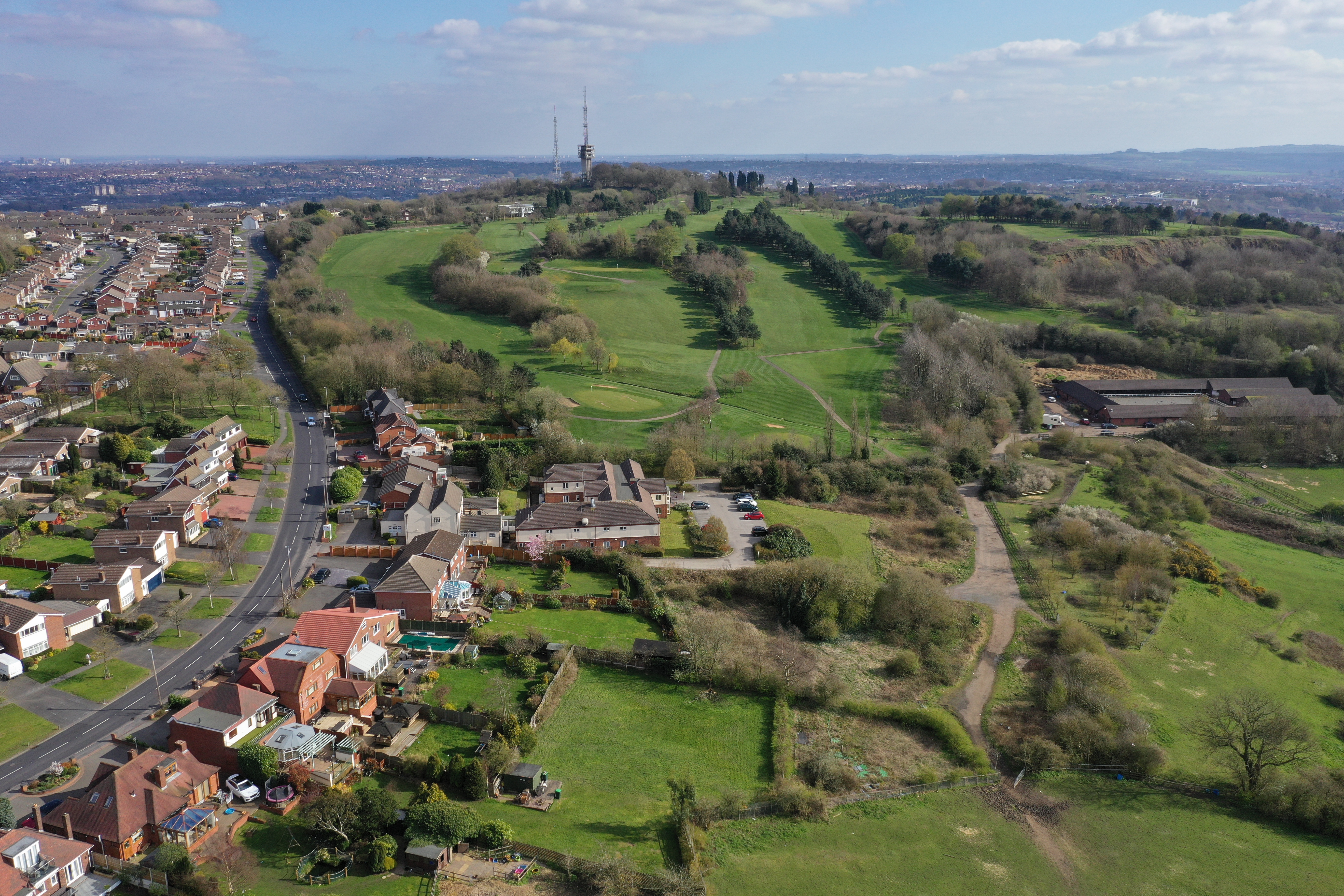
View towards Hill Top Golf Course (image © Andy Purcell)
View from Rowley Hills towards Bumble Hole and Clent Hills (image © Andy Purcell)
Turners Hill (image © Andy Purcell)
Rough Hill Quarry (image © Andy Purcell)

Portway Hill from Wolverhampton Road (image © Andy Purcell)
